Company Description
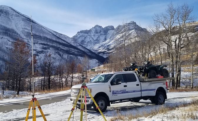
Challenger is a leader in delivering survey, mapping and geomatics expertise to support the success of our clients. Our reputation for a high level of quality and service, while safely delivering results, is why our many long-term clients continue to work with us year-after-year.
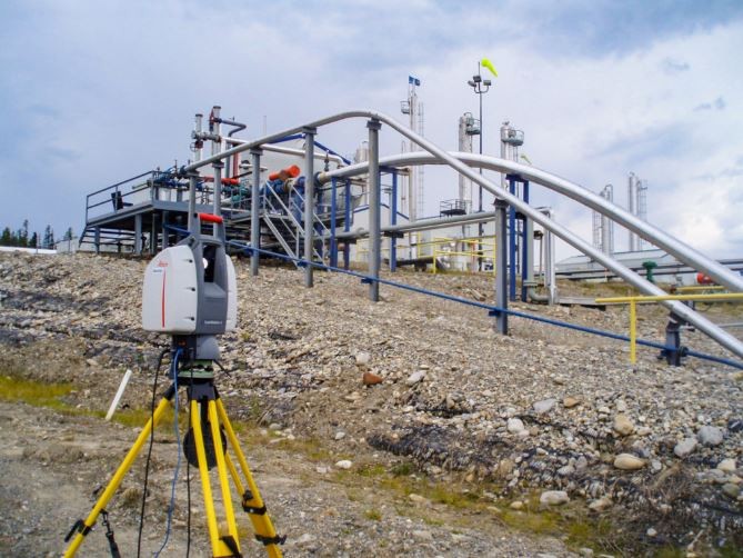
Our team is diverse and includes specialists with decades of hands-on experience and expertise in GPS, aerial mapping, LiDAR, 3D laser scanning, UAV (drone) surveys, hydrography, bathymetry, and more.
Since 1984, Challenger has delivered innovative surveying solutions for projects in energy, construction, transportation, infrastructure, land development, mining, utilities, government and beyond.
Photos & Videos
Products & Services
LiDAR , As-Builts , Desktop Studies and Scouting , Route Alignment , geomatics , GPS , High Precision Deformation Monitoring , Volume Surveys & Certified Reports , Bathymetry , Core Hole Surveys , Underground Locating , survey , Wellsite Surveys , Pipeline Integrity Surveys , Topographical Surveys , UAV surveys , hydrography , Legal Surveys , Mapping and Photogrammetry , 3D Laser Scanning , aerial mapping , mapping , Construction Surveys
Reviews and Recommendations
Frequently asked questions about Challenger Geomatics Ltd
What days are Challenger Geomatics Ltd open?
Challenger Geomatics Ltd is open Monday, Tuesday, Wednesday, Thursday, Friday.

Challenger Geomatics Ltd
Other Locations
Show more
Open Hours
- Monday08:00AM - 05:00PM
- Tuesday08:00AM - 05:00PM
- Wednesday08:00AM - 05:00PM
- Thursday08:00AM - 05:00PM
- Friday08:00AM - 05:00PM
- Saturday, SundayClosed